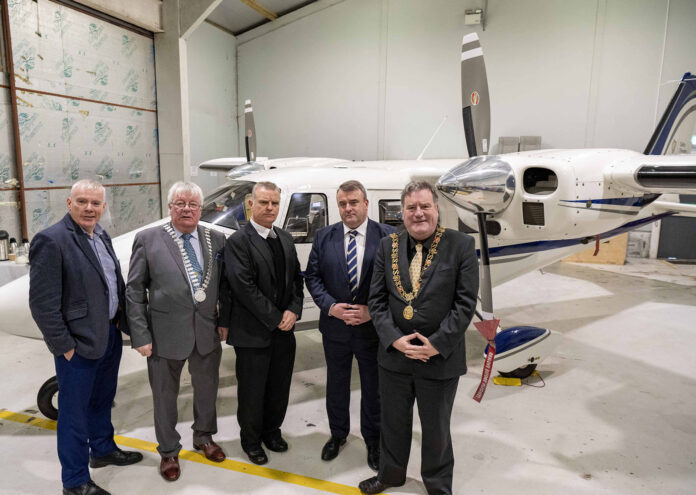
Two cutting-edge surveying aircraft have been launched by Tailte Éireann as part of a partnership with the Cork-based Atlantic Flight Training Academy.
These new aircraft are equipped with the latest state-of-the-art technology, including the Leica TerrainMapper-2 and CityMapper-2 aerial-mounted sensors, significantly enhancing mapping capabilities.
With this advanced equipment, Tailte Éireann will be able to swiftly and accurately identify changes in the landscape, ensuring that their national mapping efforts remain current and reflective of the ever-evolving environment, the importance of which was emphasised by the company’s CEO, Liam O’Sullivan.
“The implications of this advancement are vast. The improved accuracy and speed in data collection will serve the entire country – from developers and planners to environmental authorities and citizens,” he said.
This week’s launch event was attended by the Lord Mayor of Cork and the Mayor of County Cork, who both echoed the excitement and optimism surrounding this significant technological advancement and the investment in a Cork-based company.


