By Sarah O’Mahony
David Attenborough once shared ‘No one will protect what they don’t care about; and no one will care about what they have never experienced’. This is exactly what the Knockmealdowns StoryMap is offering users – an immersive experience, explains Deirdre Lewis, secretary of the Irish Uplands Forum (IUF).
Over the summer, The Avondhu spoke with Deirdre who laid out the background to the StoryMap, her organisation, the significance of the mountains and her hopes for the future of the Knockmealdowns.
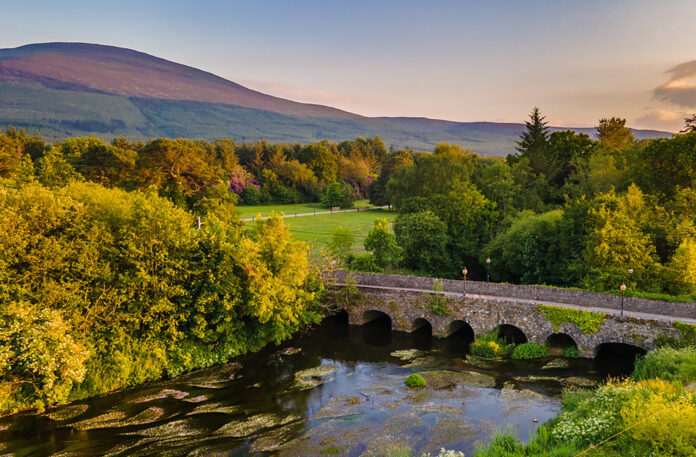
The virtual resource references the landscape of the mountains, their ecology, cultural heritage and the changes in land use over the years. It combines virtual maps, multimedia content and text to communicate these points and is accessible on mobile, tablet and PC devices.
The IUF work to support 25 different upland communities and accepted the project with open arms.
“The work began two years ago and it’s great to see the fruits of our labour open up to the public,” Deirdre noted.
Browsing the platform you will understand how the lands influence ‘cascades upwards’. Deirdre explains that the bedrock has a direct impact on the soil above it and this in turn, decides the plants that grow and the birds and animals that are found in the area. Human dwellers arrived 6,000 years ago and the cairns, ritual sites and huts that resulted from this can also be explored.
APPRECIATION OF THE LAND
The online map communicates the specific story of the famous mountain trail through a base map of the land overlaid with text, photos, links to external sites such as the National Parks and Wildlife Service.
The Knockmealdowns and Saint Declan’s Way (part of the mountain walk) traces a rich history back to the fifth century. The 115km journey was the route Saint Declan took when travelling to Cashel to meet Saint Patrick in the fifth century. Therefore, in the past 1,500 years, pilgrims have travelled this route to visit Saint Declan’s monastery, holy well and grave in Ardmore.
Deirdre hopes that the use of the online resource will promote a greater appreciation for the land and its legacy. This in turn would hopefully reduce destructive behaviour along the trail that would contribute to soil erosion or the loss of native plants.
“There’s something for everyone,” she said. “If you are particularly interested in archaeological sites you can zone in on that section of the website or if you would like to get a taste for the views from the mountains you can check out the drone footage featured. Our aim is not to overwhelm the user with information and instead keep them engaged through exploring pictures, videos and sections of the StoryMap one by one.”
The StoryMap is designed to be easily accessible for use by walkers, while trailing along the mountains is encouraged.
Check out irishuplandsforum.org for more information.


