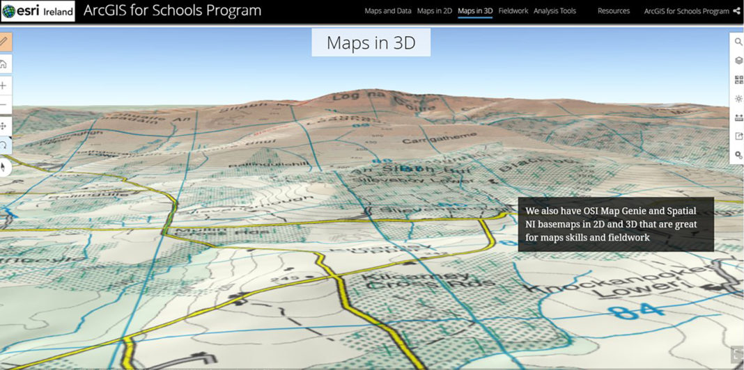
St Colman’s College, Fermoy is one of twelve pilot schools in Ireland to use ArcGIS for Schools, a digital software which allows students to collect, analyse and visualise data on a wide range of topics.
The students can study climate change, design cities and towns, explore demographics, understand history, predict future scenarios and perform many other cross-disciplinary activities.
Jimmy Condon, Geography teacher at St Colman's College, Fermoy said that the school are absolutely delighted to have been chosen as a pilot school for the schools' project.
"This project will bring together a small number of schools nationally to work collaboratively in the area of Geographic Information Systems. Being involved in this project provides our students with the opportunity to explore the “Science of Where” in the Geography classroom," Mr Condon told The Avondhu.
The new software will give the boys at St Colman's the opportunity to access “The Living Atlas” resource, which enables the exploration of people and places around the world, as well as the natural and man-made influences that impact them.
"Our students will also get the opportunity to gather and present geographical data in a variety of different ways, particularly when engaging with geographical fieldwork. In addition, students will be given the opportunity to combine maps, images, videos and text to tell a story, using the Story Maps software," Mr Condon told The Avondhu.
"We are really looking forward to being involved in this project, and believe it will provide excellent opportunities for the students of St. Colman’s College," he concluded.
The cloud-based application is accessible through any device connected to the internet including school computers, tablets and students’ smartphones, allowing pupils to collect their own data in the field. Interactive project-based experience with Geographic Information Systems (GIS) supports STEM learning for students, and ties in well with the recent announcement of computer science as a Leaving Certificate subject.
The programme fits well with the Department of Education and Skills’ ambition to bring the Irish education system further along the path to being the best in Europe at embedding digital technology in teaching, learning and assessment by 2026, as laid down in the 2018 Digital Strategy Action Plan.
Joanne McLaughlin, ArcGIS for Schools Sponsor, Esri Ireland has been very pleased with the pilot scheme at St Colman’s and 11 other schools. “Through our work with the pilot schools, we are really encouraged by the reaction of both teachers and their students. Key to the successful adoption of the programme is the provision of support for teachers through workshops, lesson plans aligned to the curriculum, and a huge variety of online training resources,” she said.
Ersi Ireland, who are the market leader in Geographic Information Systems (GIS), have announced that they will be making €500 million worth of digital mapping software available to every primary and secondary school in the country, including over 440 schools in Cork.


